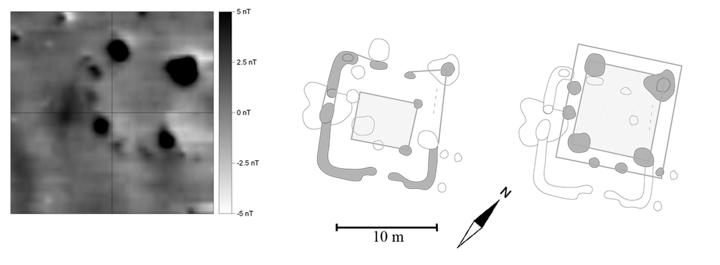
Fig. 10. Itzling, Bavaria. The ground map of a typical
pile dwelling that was found inside a square enclosure revealed two archaeological
phases. By comparing the magnetometer data with archaeological excavation from
other sites, it was possible to carve out two archaeological phases. Magnetometer
survey with Smartmag SM4G-Special caesium-magnetometer, sensitivity ± 10 Picotesla,
variometer (duo-sensor) configuration, 40 ×
40 m grid, spatial resolution 12.5 ×
50 cm, interpolated to 25 ×
25 cm, intensity of total Earth's magnetic field at the site: 48.180 ± 20 nT,
date 9/2011, angle of dip +65°, grey shade plot in 256 greyscales from positive
(black) to white (negative)